Comprehensive Mapping Tool for Kraków Users
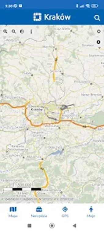
MSIP Kraków is a free Android application designed to enhance navigation and spatial data access for users in Kraków. This powerful tool allows users to view various map compositions provided by the City of Kraków, enabling them to toggle specific layers and add WMS services. Additionally, it supports the drawing of point, line, and area objects on the map, facilitating detailed spatial analysis.
The application also offers GPS tracking for routes, allowing users to capture points with photos and comments. Users can measure distances, areas, and perimeters, and save custom maps, GPS routes, and measurements. Notably, it functions offline, making it accessible without internet connectivity. Other features include reporting information to the City Council, identifying objects from data layers, and searching for locations by coordinates or addresses, making it a versatile tool for both residents and visitors.